Calling all keen walkers, runners and cyclists! We have a monster of a challenge for you.
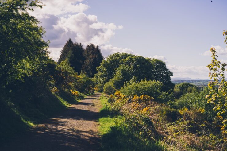
Here in Paisley, we’re lucky to have so many beautiful green spaces, each offering stunning views and unique points of interest – but how many of them can you explore in one day?
Using the Komoot route planner, we’ve mapped out a guided tour taking in 12 of Paisley’s parks.
The 13.1 mile route will take an estimated 4 hours and 30 minutes if walking at a leisurely pace – but this can be completed in a much quicker time if you’re a keen walker.
Beginning at the town’s Hawkhead railway station, you’ll then visit:
- Jenny’s Well Nature Reserve
- Saucel Hill
- Brodie Park
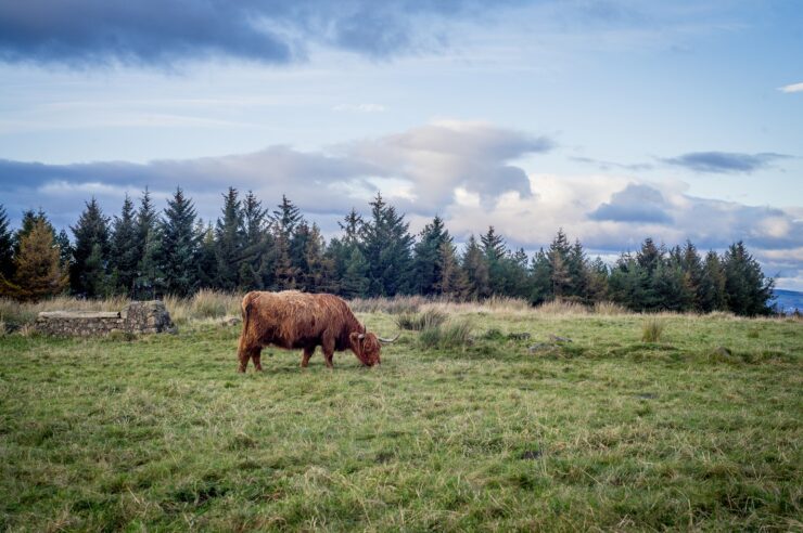
- Gleniffer Braes Country Park
- Brediland Road Green Space
- Durrockstock Wood
- Green Road Park
- Ferguslie Gardens
- Maxwellton Park
- Fountain Gardens
- East End Park
- Barshaw Park
The route will also provide amazing views and hiking highlights, including Saucel Hill trig point, Craigielinn Waterfall in Gleniffer Braes Country Park and Paisley’s spectacular medieval Abbey – so, remember to take your camera or snap some pics on your phone!
If you do stop to take some photos on your journey, be sure to share them with us on our Facebook, Twitter and Instagram channels.
Another tip – if you’ve packed some lunch or take a picnic, the benches above the Car Park in the Sky on the Gleniffer Braes make for an excellent lunch stop.
There are also plenty of places to cut your journey short and catch a bus back into town, if you prefer to do this route in smaller parts.
Take a closer look at this great trail and how to follow it by tapping the Komoot route planner below.