In the first of three blogs, local writer Cam Procter heads out into Clyde Muirshiel Regional Park to see what cycling microadventures the wilderness has to offer.
When it comes to active travel and getting around, National Cycle Routes 7 and 75 are indispensable paths that link Renfrewshire with other key locations around the Clyde. They also make for great days out on their own. However, these paths also are handy for getting to and from adventures that take you a little more off-the-beaten-track.
One such adventure, starting in Paisley, begins by following NCR 75 out towards Kilmacolm. About a mile after Bridge of Weir, a sign directs you away from the National Cycle Network and down towards Quarriers Village, which was originally built, in 1876, to serve as a large orphanage.
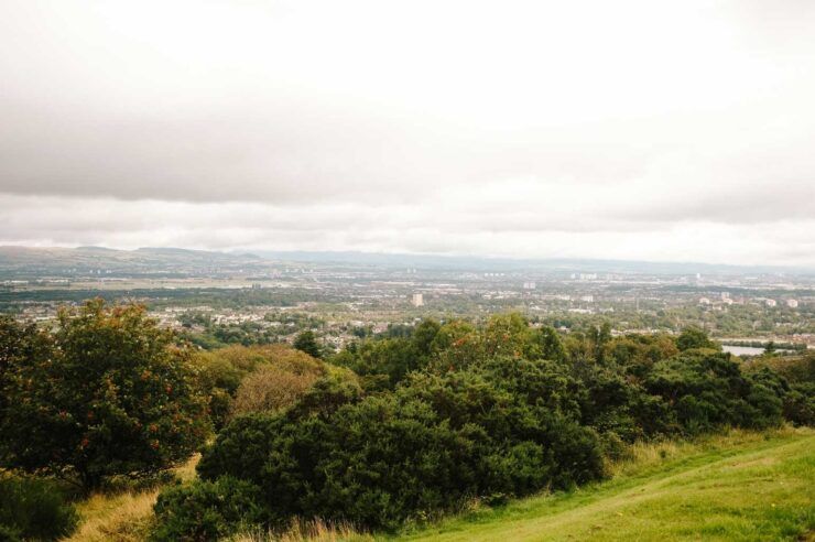
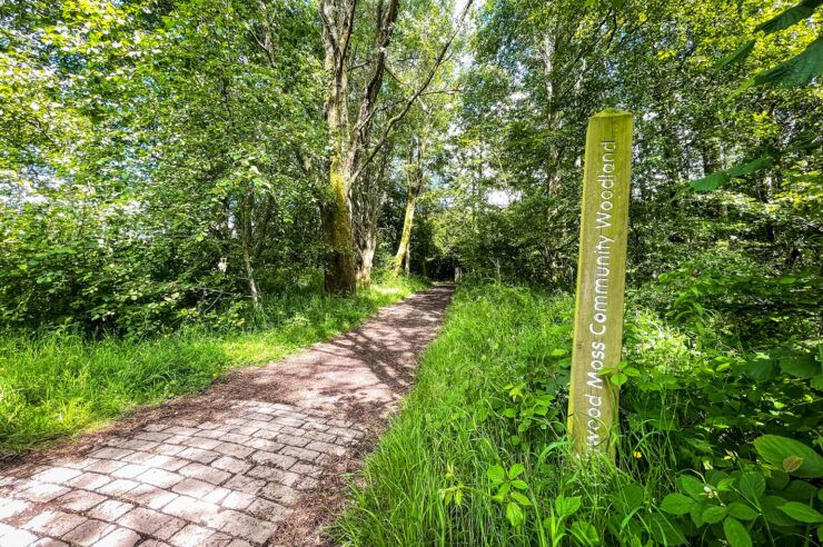
Once through the village, you’ll follow a series of small, unnamed country roads towards the eastern foothills of Clyde Muirshiel Regional Park. Although this section is on-road, these roads don’t see much motor traffic, so you can sit back and really appreciate the scenery around here!
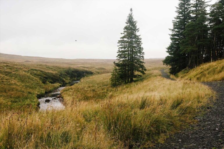
Once you reach the boundary of the regional park, the asphalt gives way to a gravel track that leads up into the hills. There’s quite a big hill to climb here, and this section may be tricky, especially on tyres that don’t have much tread or grip. The path is well-defined in most places but can sometimes be difficult to follow in the open hill; these sections also tend to be quite boggy, which can make for challenging riding.
You’ll follow this path south until you pass Windy Hill. The summit of this hill can be reached by making a short diversion, but this is a popular walking route, so remember to take care here!
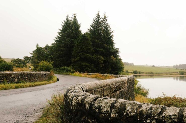
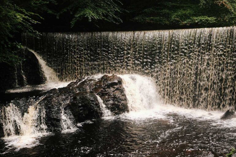
Having passed Windy Hill, you’ll come to the Muirshiel Visitor Centre. Here, the asphalt returns, and this road makes for a very enjoyable descent into Lochwinnoch. The road takes you past the impressive Calder Mill Waterfall before joining on with NCR 7 to head back towards Paisley.
At just over 30 miles, this route can be done in a few hours, but it can also make for a great overnighter. Although Clyde Muirshiel Regional Park is often exposed to the elements and can be boggy in places, it can be an ideal place to pitch a tent in the summer months! Why not bring the tent along and head out for a midweek 5-9 adventure?
Remember to follow the Outdoor Access Code and leave no trace!
Tip: Those looking for a shorter adventure can finish at Lochwinnoch station, where a 13-minute train can deliver you back to Paisley Gilmour Street.
Route notes:
Distance (from Gilmour St. Station): 32 miles / 51.5 kilometres
Time: Allow 4-6 hours in good weather, including pitstops and snack breaks
Terrain: A mix of paved surfaces, gravel, and unpaved trails; traffic and traffic-free sections
Special kit: For unpaved/gravel sections, wider tyres with tread are recommended
Highlights: Clyde Muirshiel Regional Park, Calder Mill Waterfall