Active things to do with kids in Renfrewshire

Get ready for a Summer of Sport in Renfrewshire, where long days and school holidays mean endless opportunities for kids to get moving, try something new and enjoy time outdoors. From action-packed holiday camps and swimming sessions to gala days, fun runs and family-friendly festivals, there’s no shortage of energetic activities to keep young minds and bodies active all summer long.


Here’s our guide to some of the best sporty and active things to do with kids across Renfrewshire.


Gala Days and Events: Sporty Family Fun for Everyone

Renfrewshire’s gala days are a summer highlight, combining community celebrations with plenty of active fun for children and families.

Renfrew Gala Day takes place at Robertson Park on Sunday 7 June, with a lively parade, free inflatables, football sessions, BMX demonstrations, dance workshops and rugby taster sessions, alongside live performances and street food.

Barshaw Gala Day brings free family fun to Barshaw Park on Saturday 20 June in Paisley, featuring entertainment, stalls and outdoor activities in one of the town’s best‑loved green spaces.

Across the villages, community‑led galas also offer energetic summer days out. Bridge of Weir Gala Day, held on Friday 13 June, fills the village with a colourful parade and outdoor activities, encouraging families to walk the route, explore the park and enjoy hands‑on fun together.

On Saturday 20 June, Bishopton Day brings the community together at Bishopton Rugby and Holmpark, with a parade, live entertainment, children’s activities and family‑friendly sports and games making it an active and inclusive day out.

All of these events are free to attend and ideal for families looking to enjoy sport, play and community spirit outdoors.

Events such as Sma’ Shot Day on 4th July in Paisley, Renfrew Pipe Band Competition on 18th July and the Johnstone Fire Engine Rally on 15th August also add energy to Renfrewshire’s Summer of Sport. With parades, outdoor entertainment and hands‑on activities for children, both celebrations are perfect for families looking to enjoy an active day out together.

Make a Splash at Renfrewshire Pools

Swimming is an easy way for families to stay active together. OneRen operates swimming pools in Paisley, Linwood, Erskine, Renfrew and Johnstone, offering public swims, family sessions and leisure pools with flumes and wave machines.

Visit OneRen for more information. 


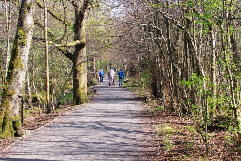
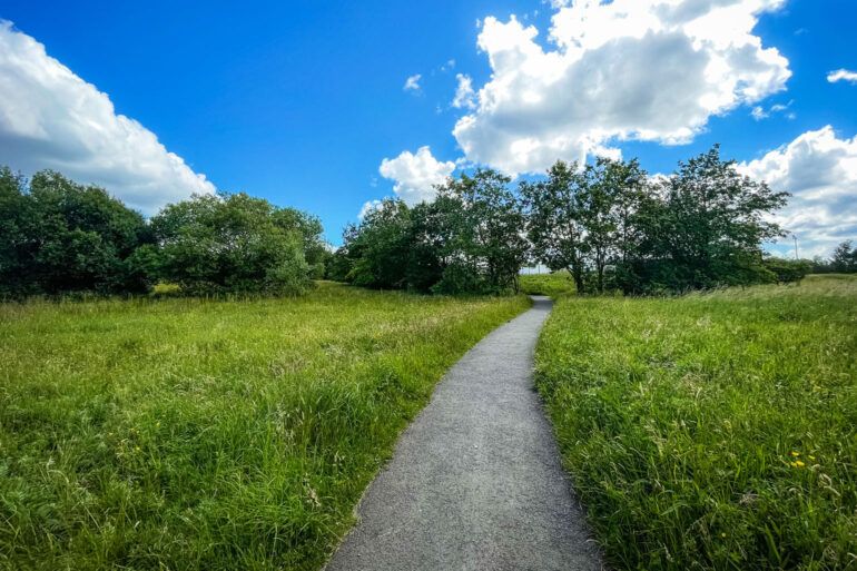
Get Outdoors in Renfrewshire’s Parks

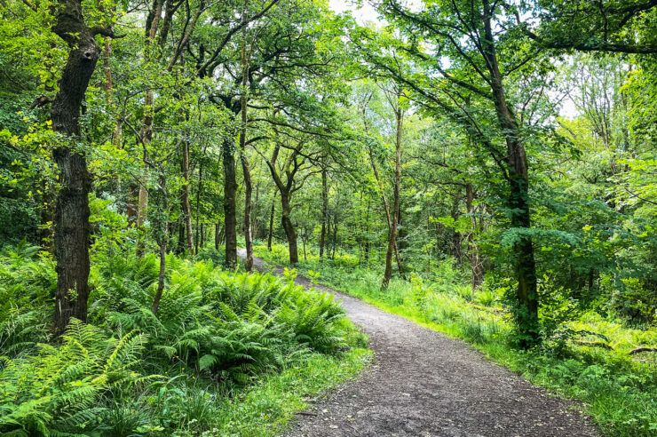
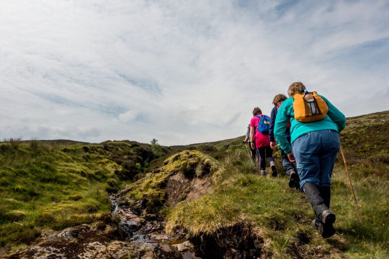
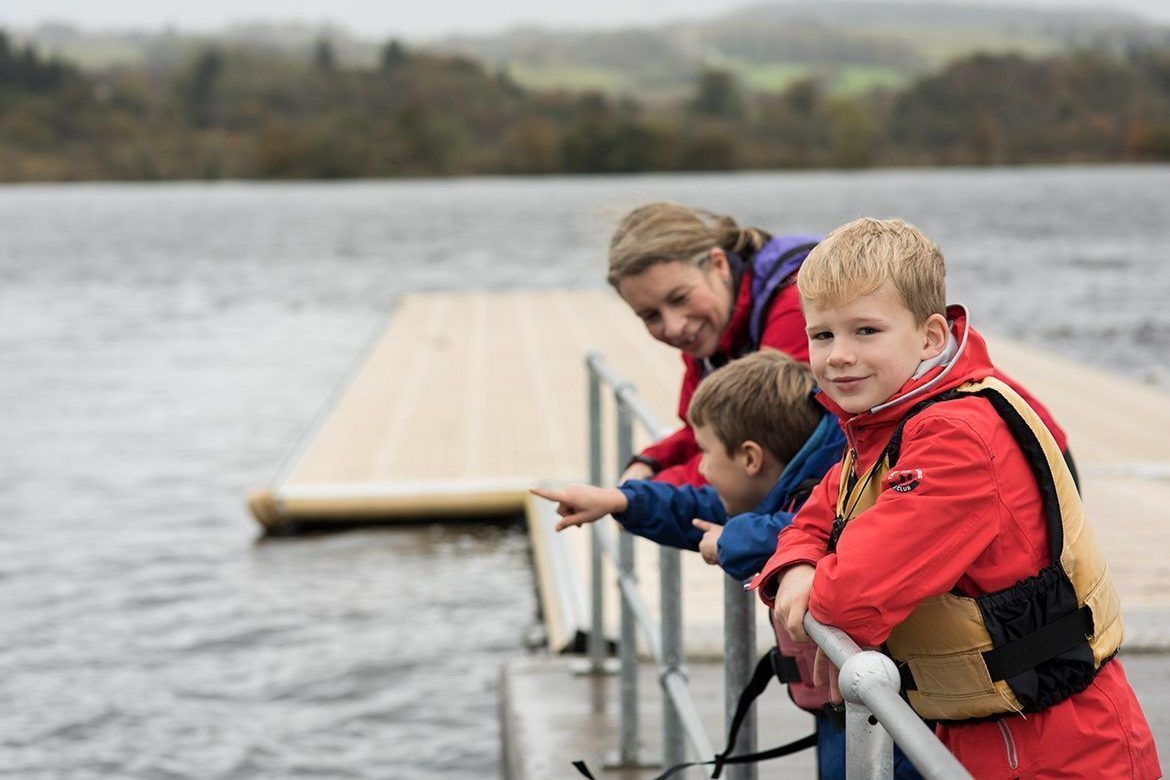
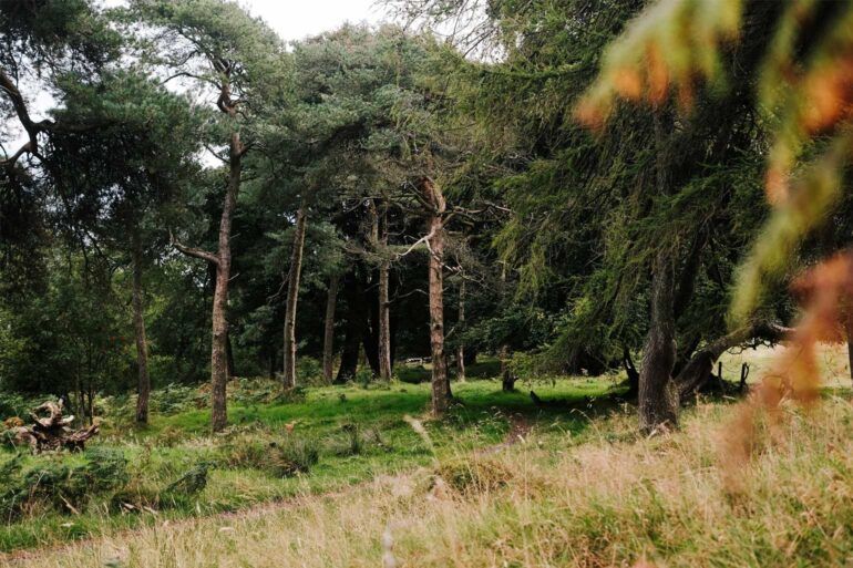
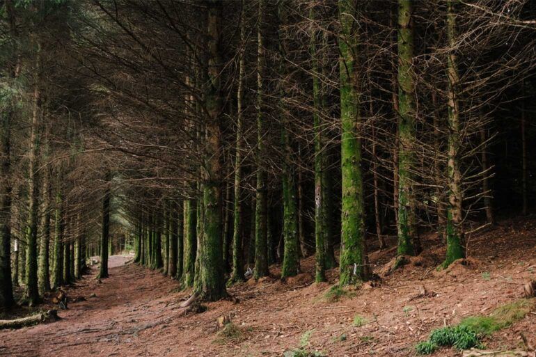
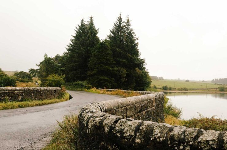
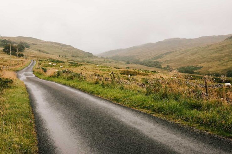
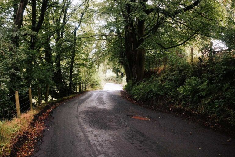
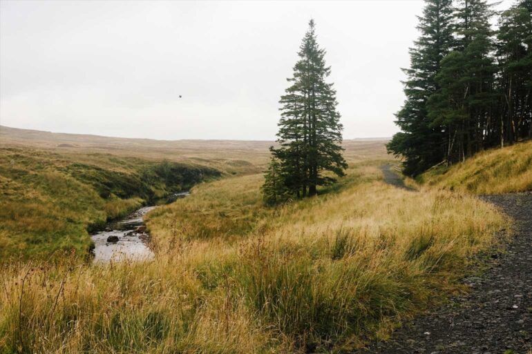
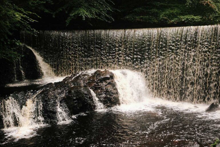
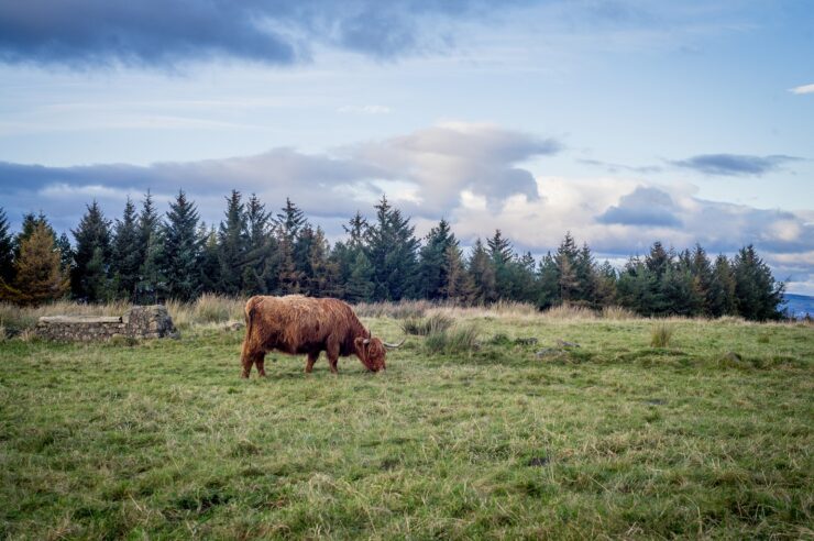
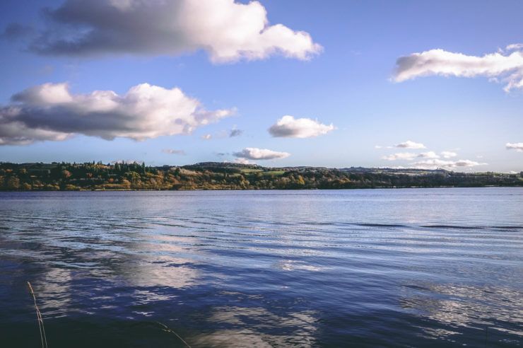
Renfrewshire’s parks and green spaces are perfect for kids who love to run, cycle and explore, with plenty of space to burn off energy during the summer holidays. Clyde Muirshiel Regional Park and Castle Semple Loch offer fantastic walking and cycling routes, as well as opportunities to try watersports in safe, shallow settings that are ideal for families.

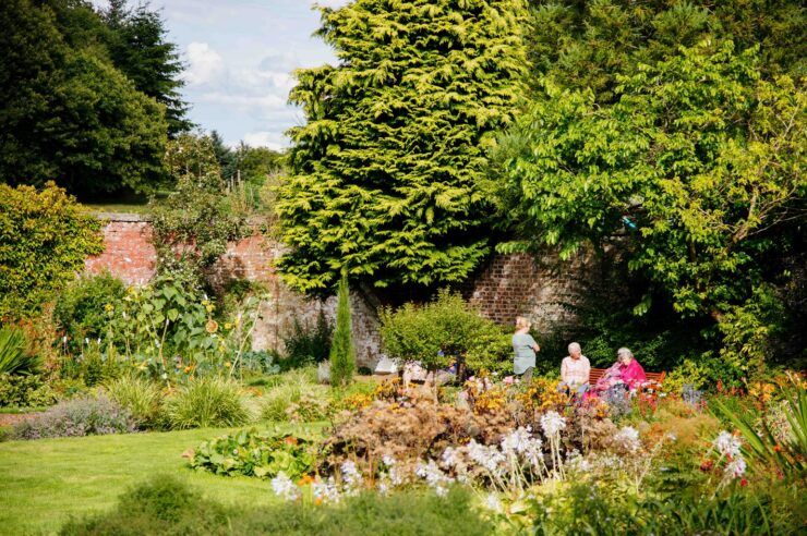
Closer to town, Barshaw Park in Paisley is a firm family favourite, with its large open green spaces, boating pond, play areas and easy walking paths making it perfect for relaxed, active days outdoors. Across Renfrewshire, local play parks provide swings, climbing frames and open space for informal play, ideal for fitter kids and younger children alike.

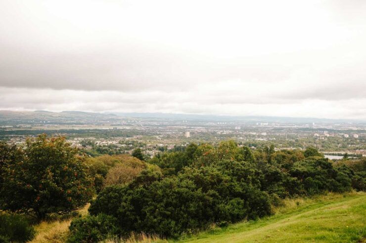
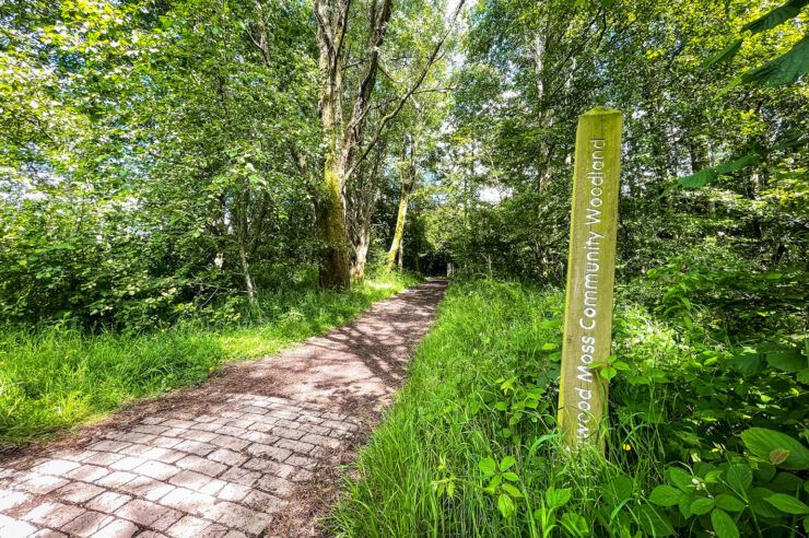
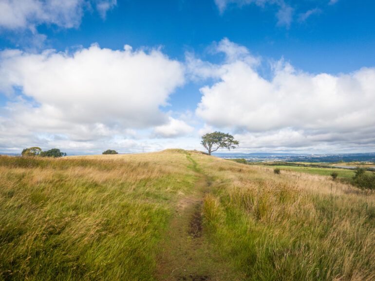
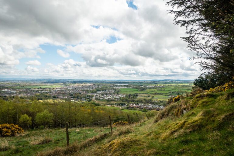
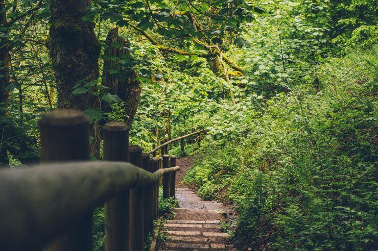
Further afield, Gleniffer Braes and Finlaystone Country Estate offer woodland walks, natural play areas and wide‑open spaces for picnics and family adventures, all set against some of the best views in the area. Whether you’re planning a short visit to your local park or a full day exploring the countryside, Renfrewshire makes it easy to enjoy an active day outdoors.


Run, Ride and Take on a Challenge

Summer in Renfrewshire is packed with organised sports events that encourage families to get active together, whether that’s cheering from the sidelines or taking part themselves.

One of the highlights is the Gryffe Valley 10k, a popular local road race held in Houston which combines scenic countryside routes with a welcoming, community atmosphere. Alongside the main 10k, the event also features shorter runs and kids’ races, making it an ideal introduction to organised running for younger participants and a feel‑good day out for families.

Paisley also hosts its own Paisley 10k and Fun Run, where families can choose from a range of distances designed to suit all abilities. With routes that run through the town, the event is well‑supported by spectators and offers a fun, inclusive way for children to try their first race or join in with a parent or carer on the day.

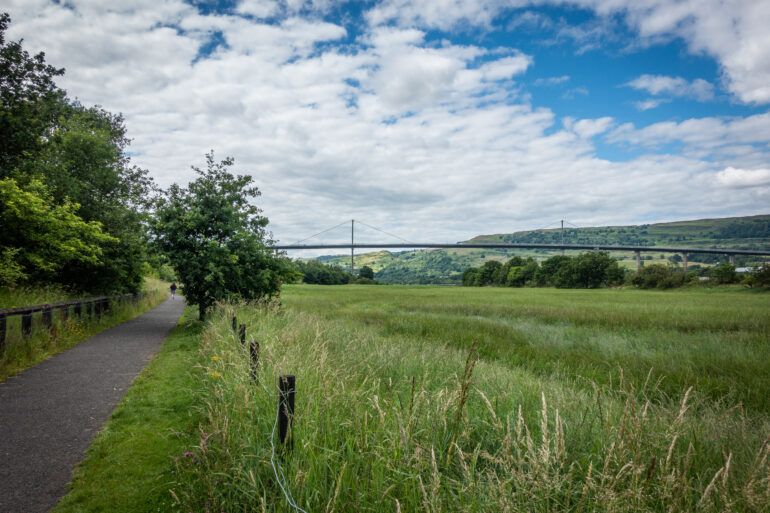
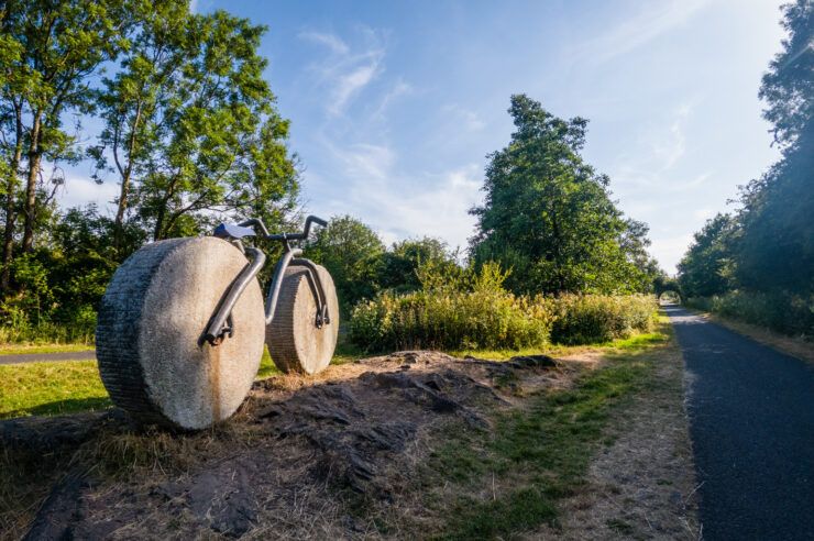
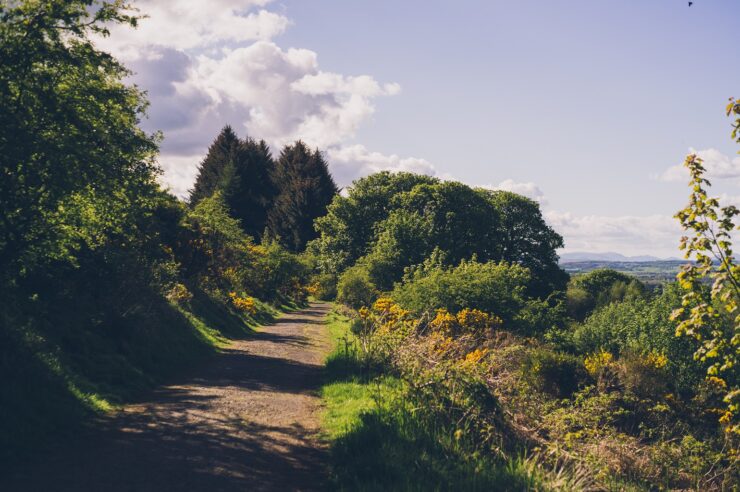
Families keen to jump on their bikes will also find plenty of ways to enjoy cycling over the summer. Local clubs such as Johnstone Wheelers and Paisley Velo run regular group rides and youth sessions, helping young riders build skills and confidence. For more relaxed cycling, family‑friendly routes including the Lochwinnoch Loop Line and Paisley to Clyde Coast path offer largely traffic‑free rides that are ideal for summer adventures on two wheels.

Other community sports events – from local football festivals to cycling and activity days – regularly appear across Renfrewshire, with listings updated on local “What’s On” platforms.


Town Centre Trails that Get Kids Moving

While not traditional sports, Paisley First’s free summer town‑centre trails encourage families to stay active by exploring, walking and completing challenges together. These popular trails run throughout the school holidays and are designed to get kids moving while discovering Paisley in a fun, interactive way.

They’re easy to combine with a swim, park visit or lunch in town – perfect for a full day of activity. Keep your eye on Paisley First website for details on this years summer trail.


Paisley CarFest: High‑Octane Family Fun

Paisley CarFest adds a burst of energy to the summer calendar with a town‑centre event designed for families to get out, explore and enjoy active fun together. Alongside eye‑catching vehicle displays, children can enjoy free rides, kart simulator experiences and interactive activities, keeping them on the move throughout the day. With live entertainment, markets and plenty of space to wander, CarFest is an easy, accessible way to enjoy an energetic day out as part of Renfrewshire’s Summer of Sport.


Find More Summer Sport

For even more ideas, keep an eye on:

A silhouette of an astronomer and his telescope look up at a dark sky filled with stars.

Winter is a great time to explore what the night sky has to offer. The dark nights make this time of year the perfect opportunity to do some stargazing. Away from the bright and busy landscape of Glasgow, Renfrewshire has some excellent spots for stargazing. Whether you’re a stargazing pro or looking for a new hobby in 2025, this beginner’s guide to winter stargazing makes sure that everyone can get involved.


What can you expect to see?

During the winter months, you will be able to see a variety of celestial objects including planets, constellations, and meteor showers.

Constellations

Orion, Taurus, and Gemini are prominent winter constellations. Look out for Orion’s Belt, a distinctive pattern of three bright stars.

Planets

Keep an eye out for these four planets that will be visible in the night sky:

  • Venus shines brightly in the West at dusk and sets about an hour after the Sun. It is the brightest object in the sky, after the Sun and the Moon.
  • Saturn is low in the Southern sky and is visible as soon as it is dark, setting around 10pm. Although it is getting earlier each night. By the end of January, it will be below the horizon by 9pm.
  • Jupiter is high in the sky and visible all night. It is the brightest object in the sky after Venus and currently lies in the constellation of Taurus the Bull.
  • You can find Mars in the constellation of Gemini. Mars rises around 7pm and is visible all night. It’s easy to spot by its distinctive red colour.

Meteor showers

The Quadrantid meteor shower is the first big astronomical event of 2025. Nowadays, the shower is associated with the constellation of Bootes the Herdsman. To find this, follow the handle of the Plough as it curves downwards, pointing to Arcturus, the brightest star in Bootes.

Meteors can appear anywhere in the sky, but if you follow their trail back and they lead you to Bootes, then it is likely that it was a Quadrantid meteor. The Quadrantids are active from 26 December to 12 January. At the peak, you can see up to 120 meteors per hour, in ideal conditions.


Where to stargaze in Renfrewshire

There are several places across Renfrewshire where you can escape the bright city lights and enjoy a clear view of the night sky. You can see about 2,500 stars from a dark sky location, without using any specialist equipment, compared to about only 100 from a busy town or city.

Head to quieter, less populated areas of Renfrewshire such as village outskirts, countryside locations, and local parks, especially those that are further from urban areas.

Visit Go Stargazing: Stargazing in Renfrewshire for more information on all things stargazing in the area.

Tips for beginner stargazers

  • Find a dark sky location. The darker the sky, the clearer your view will be and the more stars you will be able to see.
  • Give your eyes time to adjust to the darkness. It can take 20 to 30 minutes for your eyes to fully adapt to the environment.
  • Use a star chart or app to help you. A star chart or a stargazing app can help you to identify constellations and celestial objects. Check out the BBC’s Sky at Night online magazine for a list of 14 of the best stargazing apps.
  • Wrap up in warm clothing. Winter nights can be chilly, so dress in layers to keep warm.
  • Check the weather ahead of time. Cloud-free nights are the best for seeing the stars clearly, so keep an eye on the weather forecast.

So wrap up warm, head to a dark sky location, and get ready to explore the wonderful night sky. Whether you’re tracking planets, spotting constellations, or counting meteors, you’ll be surprised at what you can see.

Happy stargazing!

We can’t wait to tread the boards at RSPB Lochwinnoch Nature Reserve with the opening of a new 400m boardwalk.

Visitors have been enjoying the wildlife at the RSPB Lochwinnoch wetland and woodland site for years. Now, visitor access has just got even better with a new circular path letting people explore more of what the nature reserve has to offer.

The boardwalk closes 400 metres of the gap in a circular route around the Aird Meadow Loch. The new route means a new waterside walk, better access to view water birds and and wonderful scenic views of the loch.

The route ends at a viewpoint beside the Peel Tower. This scheduled monument was consolidated last year as part of the Garnock Connections project. The 16th century fortified tower was built by the Sempill family as a ‘safe place’ in times of war but, until now, most visitors to RSPB Lochwinnoch did not know it was there.

RSPB Scotland have completed the construction thanks to generous support from Visit Scotland’s Rural Tourism Infrastructure Fund and the National Lottery Heritage Fund, as part of the Garnock Connections landscape partnership scheme.

Tabby Lamont, RSPB Scotland Site Manager at Lochwinnoch, said: “The new boardwalk is a real game-changer for the nature reserve.  It will allow our visitors to experience new views and see so much more of the incredible wildlife here, not to mention the Peel Tower, that hardly anyone even knew was there.

“At the same time, it means our staff and volunteers can easily access the site and make sure it’s safely managed for everyone and for the wildlife that uses the loch.  We’re really looking forward to celebrating this with everyone who has helped us to make the project happen.”


A great place to visit

Immersing yourself in nature, getting up close to the history of a place, or just going places without the car – there are plenty of ways to enjoy Slow Travel in Renfrewshire.

What is slow travel?

Slow travel is about making connections with a place, creating personal memories, and finding a peace and calm by taking things one step at a time. It’s about switching off from your phone, heading into nature, stopping to admire the view, and taking your time. Just like microadventuring, slow travel in Renfrewshire can be about changing your perception of a place.

“When we stop, close our eyes and listen when out in nature, something magical happens. The sounds of nature hold so much power and help heal our everyday stresses fears and anxieties”. Jack Cairney, Founder Hidden Scotland

Getting outside

If you’re looking for a great place to walk in Renfrewshire, we have plenty to offer. From long hikes across vast open moorland and gentle strolls along lochs to peaceful woodlands and hidden waterfalls.

If cycling is more your thing, we have incredible connections thanks to the Sustrans National Cycle Network, as well as some gentle easy cycling around our towns and villages.

And being outside doesn’t have to mean a big hike. Sitting in your local park, or out in your garden, can be just as good for your health and wellbeing. Barshaw Park Walled Peace Garden is an oasis of calm not far from Paisley town centre. And if you don’t have a garden yourself, getting involved with your local allotment or growing ground can be a great way to be connected to the land and community around you.

Taking time for yourself

In a world full of work and technology, it can be hard to find the time to switch off. But the benefits for your mental and physical health are huge. Nature can improve your mood and help you feel more connected to the spaces and people around you. It can improve your physical health and help you feel more relaxed.

Clyde Muirshiel Regional Park ranger led walk

Clyde Muirshiel Regional Park ranger led walk

Get out in a group

A great introduction to connecting with nature can be to get outside with an organised group. RSPB Lochwinnoch have several ranger-led events throughout the year aimed at getting you out into nature, including wellbeing walks. Active Communities based in Johnstone have regular walks aimed at making connections with both nature and community. Paisley Ramblers host regular walks of various lengths including trips further afield. And OneRen have a range of walking groups across Renfrewshire all aimed at getting you outside, exploring your local area and making connections.

Helping others travel slowly

If you want to go exploring but aren’t sure where to start. Or if you just want to connect with the paths around you in a meaningful way. There are a few projects that you could get involved in.

Scottish Paths Map is a project from Ramblers UK. The aim is to walk and record every path in Scotland, including all those that aren’t shown on regular maps. There are over 42,000 miles of paths in Scotland, and Ramblers UK are looking for volunteers to help audit the project.

Slowways is a UK-wide network that uses existing paths, ways, trails and roads. You can use Slow Ways routes to walk or wheel between neighbouring settlements and combine them to create longer trips. You can sign up to the website, choose a route, walk it and then review it. The reviews help others understand what the terrain is like, how easy the route is, and any interesting features.

Both the Scottish Paths Map and Slowways UK are great resources for route planning. The interactive maps are a great place to start if you are looking for new places to explore.

Ramblers UK Scottish Path Map showing excerpt of Johnstone

Ramblers UK Scottish Path Map excerpt showing paths in Johnstone

Find some slow travel inspiration

With Spring arriving, and the Paisley 10k coming up in August, now is a great time to go running in Renfrewshire. The blossoms and bluebells are starting to bloom, the evenings are lighter, and you don’t need to put on ten different layers just to get out the door.

Whether you’re a regular runner or just enjoy moving through interesting places, we’re spoilt for choice with places to run across Renfrewshire. From abandoned mines, volcanos and waterfalls to riverside paths and peaceful trails, there’s something for everyone.

As well as being great for your mental and physical health, exploring your local area on foot gives you a more intimate look at the space around you.

Here are four scenic places some of the Paisley.is team love to run.

Gleniffer Braes looking towards a lonely tree

The eastern edge of the Gleniffer Braes, above Brownside Farm

Gleniffer Braes Country Park

With a vast network of trails, good parking and stunning views ‘the Braes’ is one of the most popular places in Renfrewshire for trail running. Sitting on the southern edge of Paisley and Johnstone, the Braes is a one-stop-shop for all kinds of terrain. From managed woodlands with winding paths, to wide open moorland, it’s full of interesting routes.

Because of its size, you can easily link across to lots of different places. These include Neilston and Barrhead through the picturesque Ferenze Hill and Killoch Glen, or Rannoch and Bluebell Woods in Johnstone.

As we’re in Scotland, the trails can be muddy, they can be steep, and you might encounter highland coos! But with such a wide variety of runs available, you can tailor your route to suit you.

Freneze Braes looking towards Barrhead

Freneze Hill looking down towards Barrhead

Linwood Moss

Home to Renfrewshire’s oldest Parkrun, Linwood Moss is a great place for an easy short run.

The network of trails includes tarmac and gravel, covering parkland and woodland. It’s very flat, with very gentle undulations, which also makes it a great place to run with kids.

Whilst the trails can get quite muddy after rain, there’s great parking and the On-x Linwood Sports Centre has a café for a wee refreshment afterwards. Linwood Parkrun is a free, fun, and friendly weekly 5k community event. Walk, jog, run, volunteer or head along and spectate, it happens every Saturday at 9.30am.

Linwood Moss Nature Reserve

Linwood Moss Nature Reserve

Erskine Waterfront

Running next to water is better for your mental health, thanks to a nicer soundscape and less pollution. At least that’s what The Canal and River trust say, and we’d have to agree.

You can explore the sights and sounds of the River Clyde in a few different locations in Renfrewshire, but one of the most popular is the Erskine Waterfront. Featuring wide paths and vast views up and down the river, including the Erksine Bridge.

The main waterfront area runs between Newshott Island Nature Reserve and Boden Boo Woodlands. This makes it an ideal place for a long run, with a great variety of terrain and ever-changing scenery. The Erskine Waterfront Parkrun is fun, free and takes place here each Saturday at 9.30am.

Erksine Waterfront Walkway looking towards Erksine Bridge

Erksine Waterfront Walkway looking towards Erksine Bridge

Head East along the White Cart River

A perfect route for those who want to stick to tarmac, the White Cart Cycleway links Hawkhead in Paisley to Crookston and Rosshall in Glasgow. Starting from Ben Nevis Road, it follows National Cycle Route 7 on wide and smooth paths alongside the river before opening with views across parkland.

You can follow Crookston Road round to Glasgow Road and head back into Paisley in a big loop. Or you can continue following the cycle route into Rosshall Gardens and discover the hidden grotto and disc-golf course.

And if you fancy a much longer run, the cycle route eventually flows all the way through Pollock Park, Glasgow City Centre and beyond.

White Cart Water

White Cart Water from the Hawkhead to Crookston Cycleway


Tell us where you like to go running in Renfrewshire

Do you have a set route round the block, or do you have a favourite local trail?

We want to hear from you.

Your name
Where do you love to adventure? Running, hiking, bike riding, wild swimming or anything else!
What kind of outdoor person are you?

In his final blog, local writer and Cam Procter leaves the bike at home and heads out on a walking microadventure exploring Johnstone’s Bluebell Woods and the Gleniffer Braes. 

If you’re in the mood to spend some time out in the woods, there are several distinct but connected woodlands in Johnstone that are great for exploring! Each of the separate woodlands has its own network of trails, but our route takes you up through each of these woods, and the trail is perfect for both walking and running.

Bardrain Woods Johnstone ©Cam Procter

The route starts at Johnstone train station, which is only a four-minute journey from Paisley Gilmour St. Exit the train station the back way (onto Springfield Park) and head south until you find yourself on Auchenlodment Road. About 400 yards down this road, you’ll notice a small, black sign on your right that reads ‘Bluebell Woods’. Cut in here to join the trail.

This section is easygoing and mostly wooded. As its bound on all sides by houses, it can be quite busy, but the route does get much quieter as you go. As you follow the trail along, you’ll start to head uphill; eventually, the trees give way to a field of ferns. A little trek through these ferns brings you to a road.

Bardrain Woods Path ©Cam Procter

Directly across the road, the Windy Hill segment begins. Although wooded at the start, the ferns soon return as you climb higher. You’ll soon notice a small river valley to your left, and if you look behind you, you’ll be treated to a nice view down this valley and over Paisley. However, the best view is yet to come, so press on!

Along this track, you’ll come to a short descent that leads to a bridge, which then takes you to the other side of the river. Once across, there’s a steep climb back up into the trees. This climb is quite long and contains a few switchbacks. However, it soon flattens out—and stays flat. Up here, the tree cover is sparser, providing some fantastic views over to the north. On a clear day, you can see as far as the Trossachs!

Bardrain Woods View ©Cam Procter

Follow the trail along until you come to a gate. There’s a thick forest ahead, and our route takes you up into these trees. However, if you’re enjoying the views, you can follow the trail straight ahead to skirt around them instead.

At the end of this path, you’ll come to the A737, just across from the Car Park in the Sky. This is where our route starts to head back, but if you’re in for a longer adventure, you can cross the road to enter the Gleniffer Braes Country Park. Whenever you do decide to head back, take care on the descent, as it can be quite slippery when wet.

Bardrain Woods Gleniffer Braes ©Cam Procter

Route notes:

Distance (from Johnstone train station): 7.5 miles / 12 kilometres

Time: Allow 3.5-5 hours if walking, including snack breaks

Terrain: Trail (not including the short segment near the train station)

Special kit: Grippy walking or trail running shoes; parts of this trail are steep and can be slippery when wet

Highlights: Bluebell Woods, Windy Hill, Bardrain Wood, Gleniffer Braes

More microadventures

In the second of three blogs, local writer and keen cyclist Cam Procter heads out on a cycling microadventure to explore Lochwinnoch and Barcraigs Reservoir. 

The hills to the south of Paisley provide some great views over the town and feature a network of quiet country roads that are pleasant to cycle on. I’ve shared a route here that is just one example of the numerous options that are available once up in these hills. At roughly 25 miles, with the choice to shorten or extend as you see fit, this area can be a fantastic choice for a day-ride.

Barcraigs ride lane ©Cam Procter

Our route starts in Paisley and follows National Cycle Route 7 to Lochwinnoch, turning off just after Castle Semple Loch. Take a left onto Newton of Barr and follow this road past the RSPB site and the Lochwinnoch train station.

At the end of Newton of Barr, you’ll come to a roundabout. This is connected to the A737, so the traffic can be quite heavy here, and we recommend using the off-road cycle crossing to get across.

Heading straight over the roundabout, you’ll see a narrow road that climbs straight up. This incline is about as steep as it looks, but it eases off a little bit when you come to the next junction, where you turn left. After this, take either the first or second right to head towards Barcraigs Reservoir; the second option is a little longer, but the views over the reservoir are much better!

Barcraigs Reservoir ©Cam Procter

From here, the road undulates a little as you follow a series of narrow, winding country lanes around the reservoir. These roads tend to be very quiet, but do keep an eye out for cars coming the other way! Once you’ve looped around the southern side of the reservoir, the route starts to head north again, back towards Paisley.

Having enjoyed these small, winding lanes, you’ll eventually come to Gleniffer Road, a flat, straight stretch that leads to the top of the Gleniffer Braes Country Park. The Car Park in the Sky can be a great place to take a rest (and take in the views!) before starting on the stunning descent back into town. Zipping past Stanley Reservoir and all the way into the centre of Paisley, this is a great road to end the ride on, and well worth the effort of getting into the hills in the first place!

Remember to follow the Outdoor Access Code and leave no trace!

Tip: This route can be done in either direction, but the climb up Gleniffer Road can be challenging, especially so early on in the ride. If you like to get the hard work out of the way early however, the opposite direction may be better for you!

Gleniffer Braes Carpark in the Sky©Cam Procter

Route notes:

Distance (from Gilmour St. Station): 25 miles / 40.25 kilometres

Time: Allow 3.5-5 hours in good weather, including pitstops and snack breaks

Terrain: Paved; traffic and traffic-free sections

Special kit: Don’t forget your raincoat!

Highlights: Lochwinnoch, Barcraigs Reservoir, Gleniffer Braes

More microadventures

In the first of three blogs, local writer Cam Procter heads out into Clyde Muirshiel Regional Park to see what cycling microadventures the wilderness has to offer. 

When it comes to active travel and getting around, National Cycle Routes 7 and 75 are indispensable paths that link Renfrewshire with other key locations around the Clyde. They also make for great days out on their own. However, these paths also are handy for getting to and from adventures that take you a little more off-the-beaten-track.

One such adventure, starting in Paisley, begins by following NCR 75 out towards Kilmacolm. About a mile after Bridge of Weir, a sign directs you away from the National Cycle Network and down towards Quarriers Village, which was originally built, in 1876, to serve as a large orphanage.

Once through the village, you’ll follow a series of small, unnamed country roads towards the eastern foothills of Clyde Muirshiel Regional Park. Although this section is on-road, these roads don’t see much motor traffic, so you can sit back and really appreciate the scenery around here!

Clyde Muirshiel Regional ParkGravel ©Cam Procter

Once you reach the boundary of the regional park, the asphalt gives way to a gravel track that leads up into the hills. There’s quite a big hill to climb here, and this section may be tricky, especially on tyres that don’t have much tread or grip. The path is well-defined in most places but can sometimes be difficult to follow in the open hill; these sections also tend to be quite boggy, which can make for challenging riding.

You’ll follow this path south until you pass Windy Hill. The summit of this hill can be reached by making a short diversion, but this is a popular walking route, so remember to take care here!

Having passed Windy Hill, you’ll come to the Muirshiel Visitor Centre. Here, the asphalt returns, and this road makes for a very enjoyable descent into Lochwinnoch. The road takes you past the impressive Calder Mill Waterfall before joining on with NCR 7 to head back towards Paisley.

Clyde Muirshiel Regional Park waterfall ©Cam Procter

At just over 30 miles, this route can be done in a few hours, but it can also make for a great overnighter. Although Clyde Muirshiel Regional Park is often exposed to the elements and can be boggy in places, it can be an ideal place to pitch a tent in the summer months! Why not bring the tent along and head out for a midweek 5-9 adventure?

Remember to follow the Outdoor Access Code and leave no trace!

Tip: Those looking for a shorter adventure can finish at Lochwinnoch station, where a 13-minute train can deliver you back to Paisley Gilmour Street.

Route notes:

Distance (from Gilmour St. Station): 32 miles / 51.5 kilometres

Time: Allow 4-6 hours in good weather, including pitstops and snack breaks

Terrain: A mix of paved surfaces, gravel, and unpaved trails; traffic and traffic-free sections

Special kit: For unpaved/gravel sections, wider tyres with tread are recommended

Highlights: Clyde Muirshiel Regional Park, Calder Mill Waterfall

More microadventures

Calling all keen walkers, runners and cyclists! We have a monster of a challenge for you.

Here in Paisley, we’re lucky to have so many beautiful green spaces, each offering stunning views and unique points of interest – but how many of them can you explore in one day?

Using the Komoot route planner, we’ve mapped out a guided tour taking in 12 of Paisley’s parks.

The 13.1 mile route will take an estimated 4 hours and 30 minutes if walking at a leisurely pace – but this can be completed in a much quicker time if you’re a keen walker.

Beginning at the town’s Hawkhead railway station, you’ll then visit:

  • Jenny’s Well Nature Reserve
  • Saucel Hill
  • Brodie Park
  • Gleniffer Braes Country Park
  • Brediland Road Green Space
  • Durrockstock Wood
  • Green Road Park
  • Ferguslie Gardens
  • Maxwellton Park
  • Fountain Gardens
  • East End Park
  • Barshaw Park

The route will also provide amazing views and hiking highlights, including Saucel Hill trig point, Craigielinn Waterfall in Gleniffer Braes Country Park and Paisley’s spectacular medieval Abbey – so, remember to take your camera or snap some pics on your phone!

If you do stop to take some photos on your journey, be sure to share them with us on our Facebook, Twitter and Instagram channels.

Another tip – if you’ve packed some lunch or take a picnic, the benches above the Car Park in the Sky on the Gleniffer Braes make for an excellent lunch stop.

There are also plenty of places to cut your journey short and catch a bus back into town, if you prefer to do this route in smaller parts.

Take a closer look at this great trail and how to follow it by tapping the Komoot route planner below.

Do you have any walking, running or cycling routes you love in Renfrewshire?

Share them with us by following us on Komoot and tagging us in that walk, run or cycle. 

Enjoy more great walking routes through Komoot

Gleniffer Braes Country Park is home to a number of great trails – but have you ever walked from the bottom to the top of the Braes?

We’ve showcased a number of shorter trails through our Komoot route planner, including the beautiful Glen Park circular walk and the Brownside Farm link path to Glen Park.

Now, this longer route – at close to three hours – provides the perfect guide to exploring the Gleniffer Braes in all their glory.

Starting at Brownside Farm car park, you’ll follow the track upwards to see hiking highlights including Glen Park Willow Arch, as well as spectacular views across Paisley and out towards the Kilpatrick Hills.

Plus, the Braes are home to a host of woodland and moorland wildlife, with birdwatchers in for a treat. It’s also common to see some lovely Highland cows and red deer grazing in the fields.

Once you’ve enjoyed the views at the top, you can make your way back down and see the stunning Craigielinn Waterfall – a favourite among locals and visitors.

Follow this great trail and find out everything you need to know using the Komoot route planner below.

Do you have any walking, running or cycling routes you love in Renfrewshire?

Share them with us by following us on Komoot and tagging us in that walk, run or cycle. 

Enjoy more great walking routes through Komoot